Early in the morning, a single photo at the main entrance of Abashiri Prison before opening.
早朝、開門前の網走刑務所の正面入り口で写真を一枚。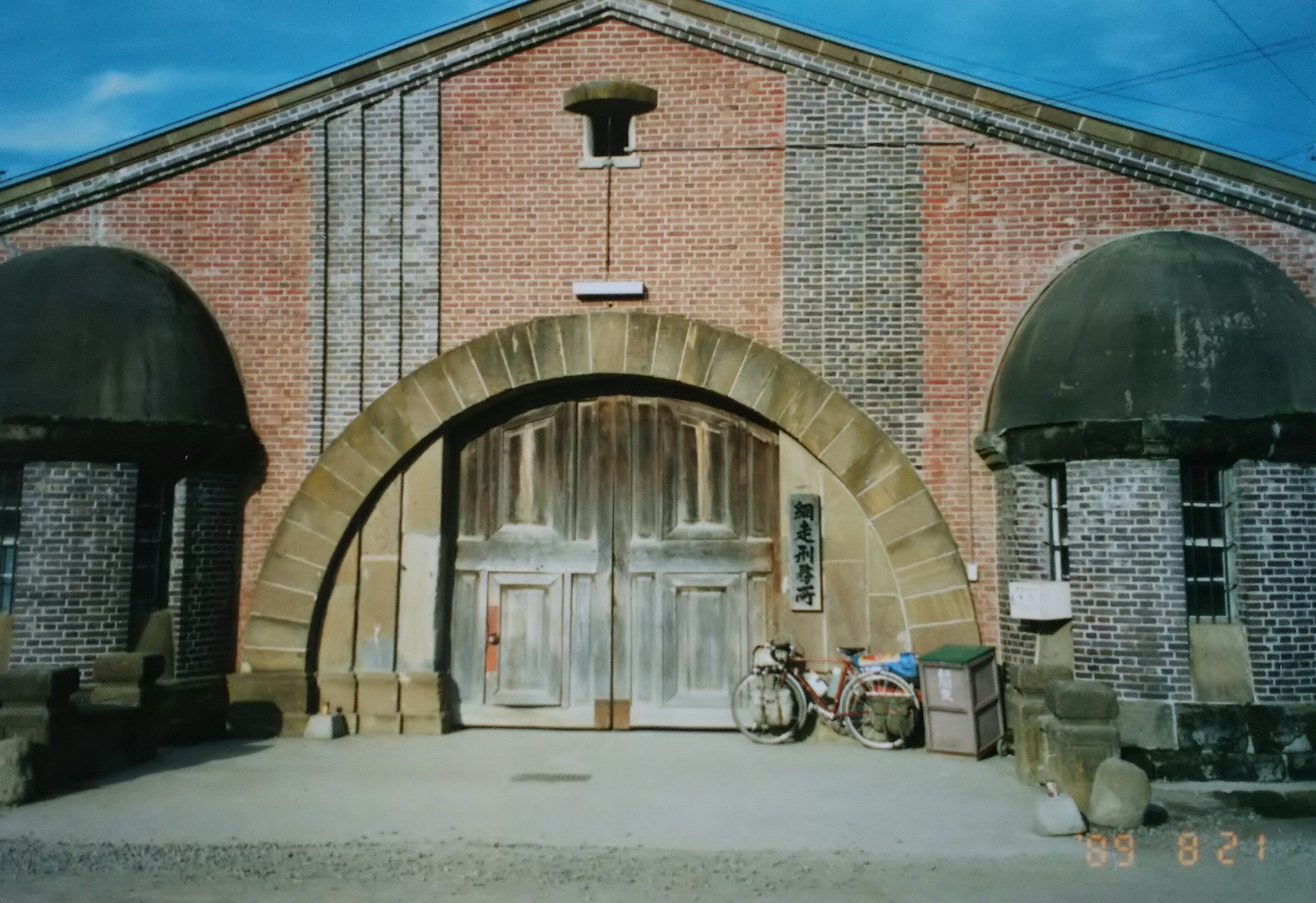
I headed straight from Kitami to Sounkyo along National Route 39.
すぐその足で国道39号線を北見から層雲峡へ。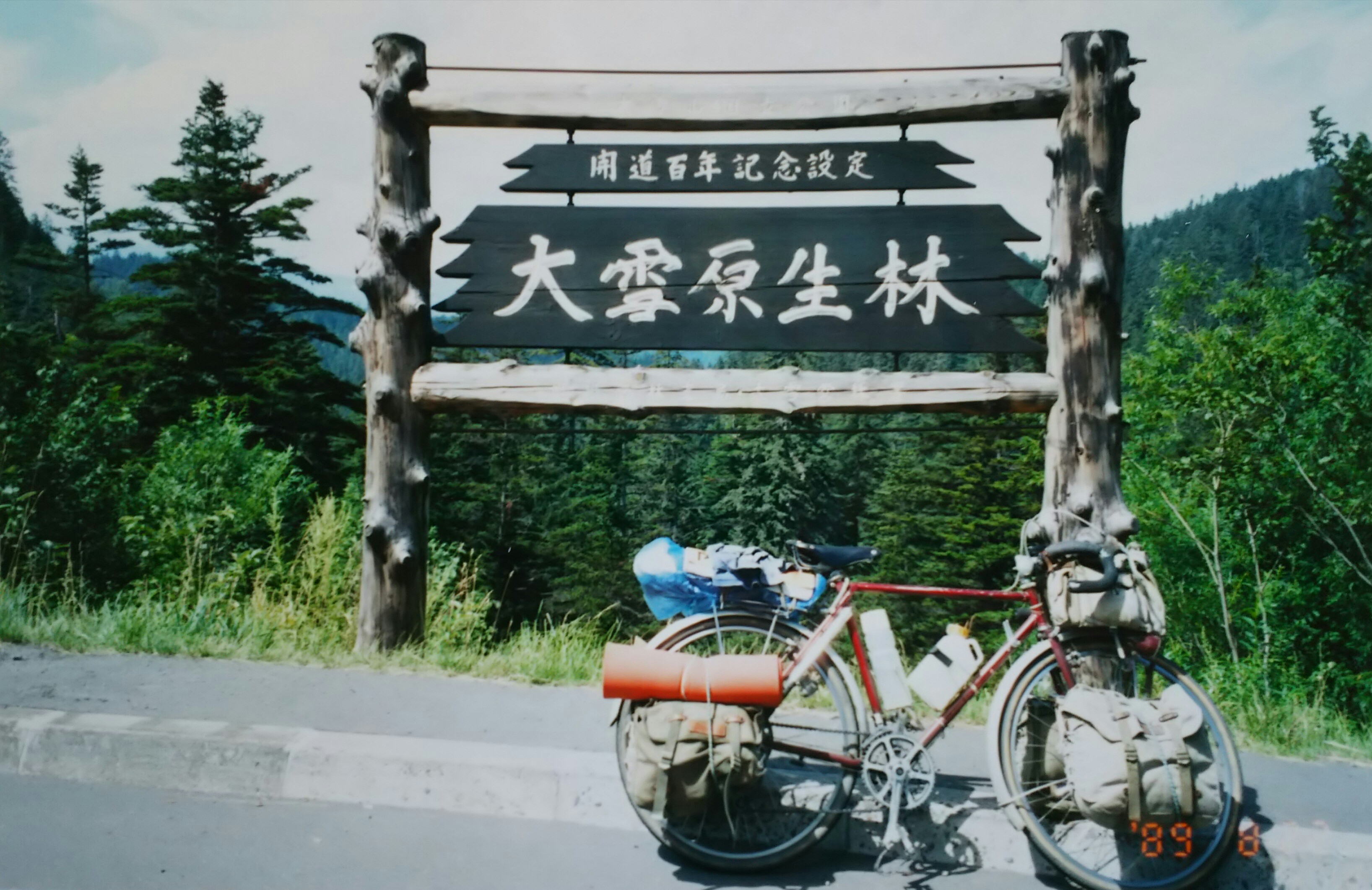
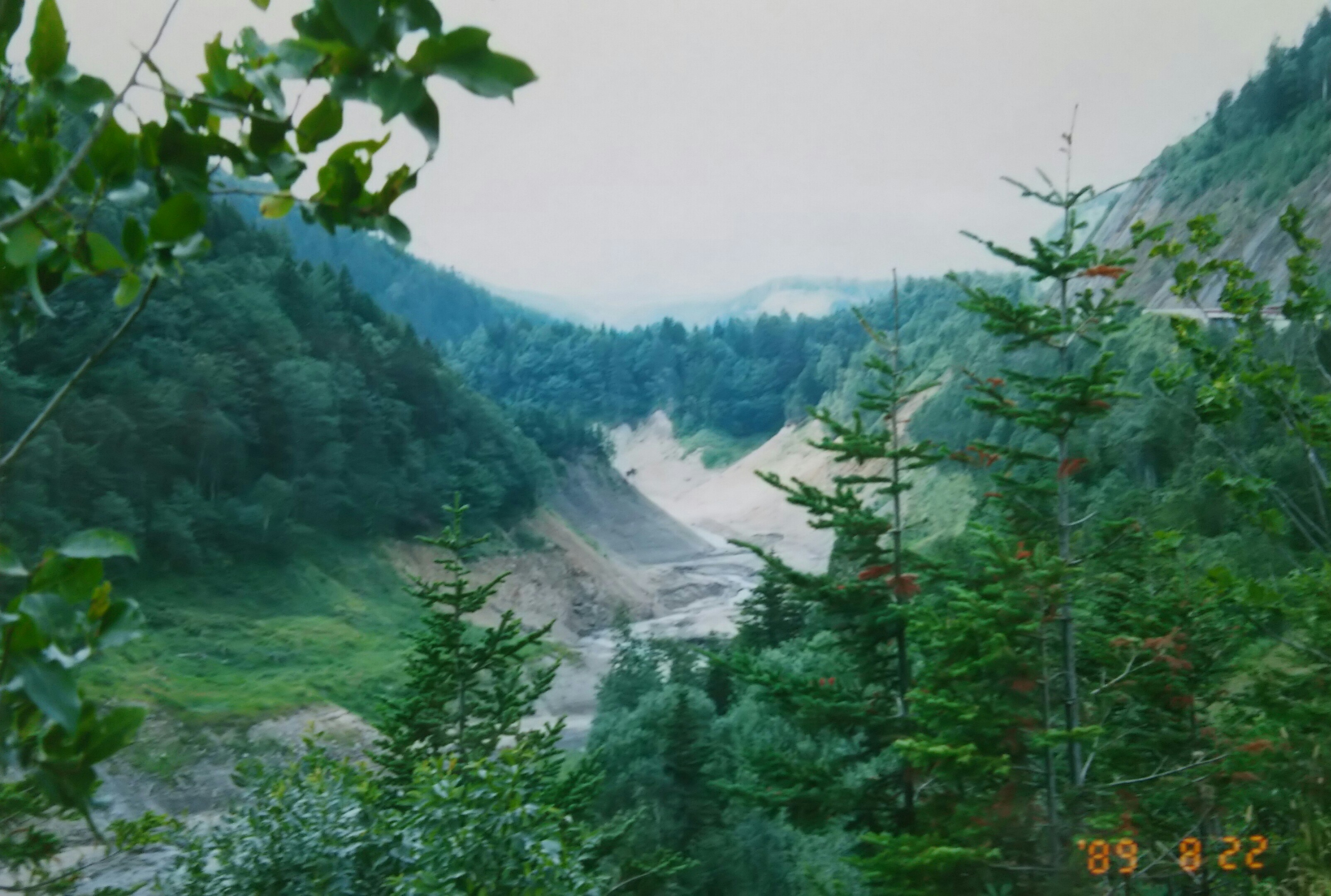
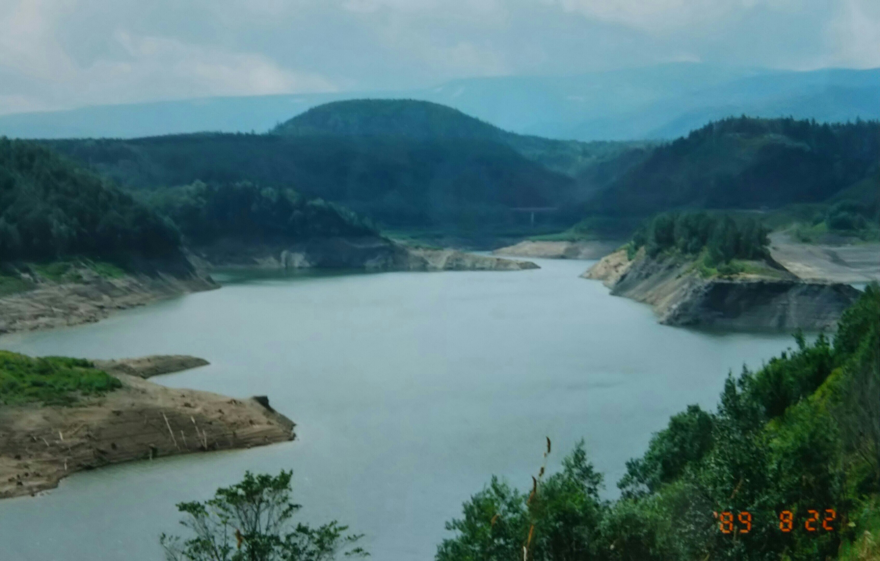
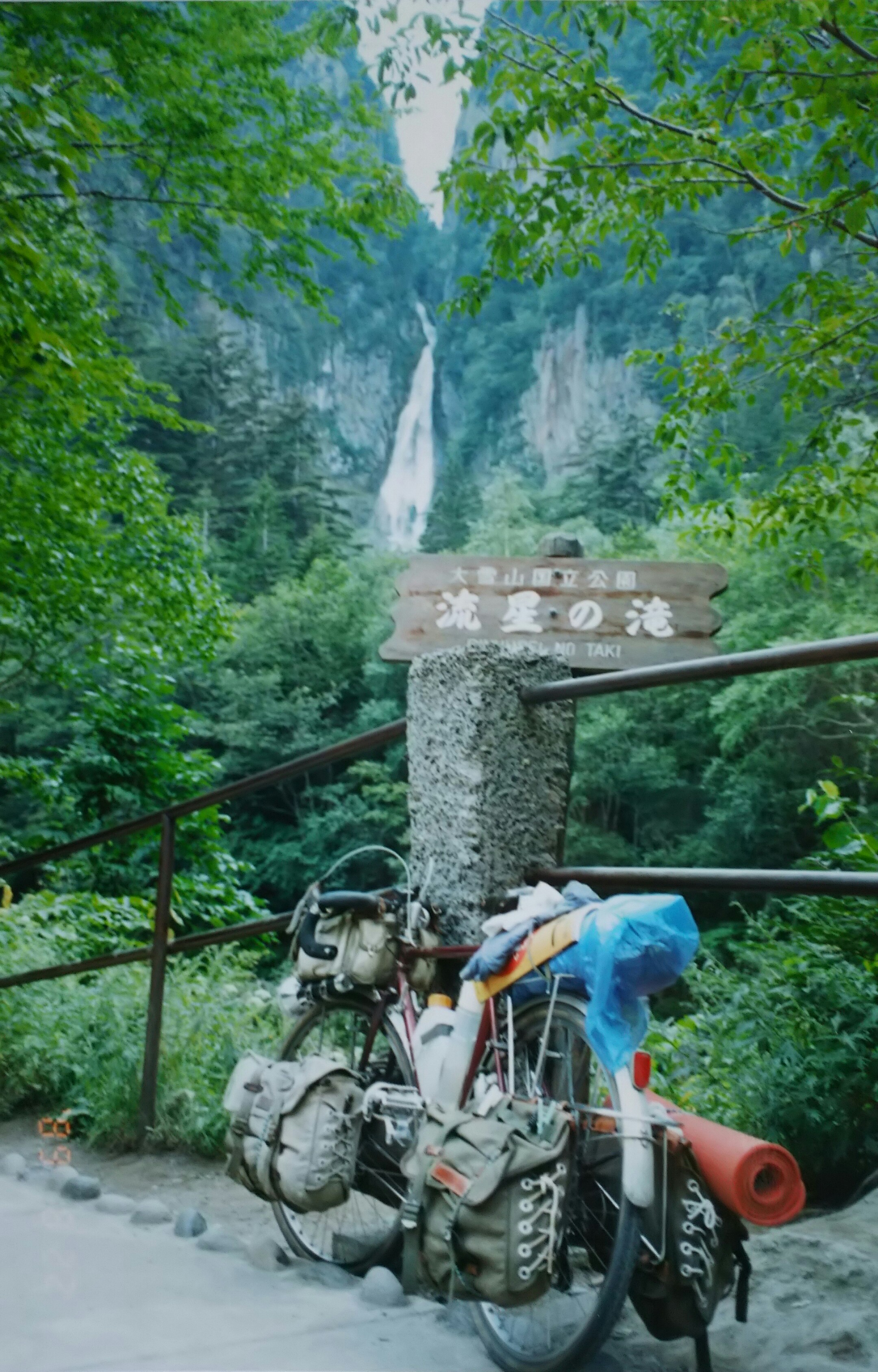
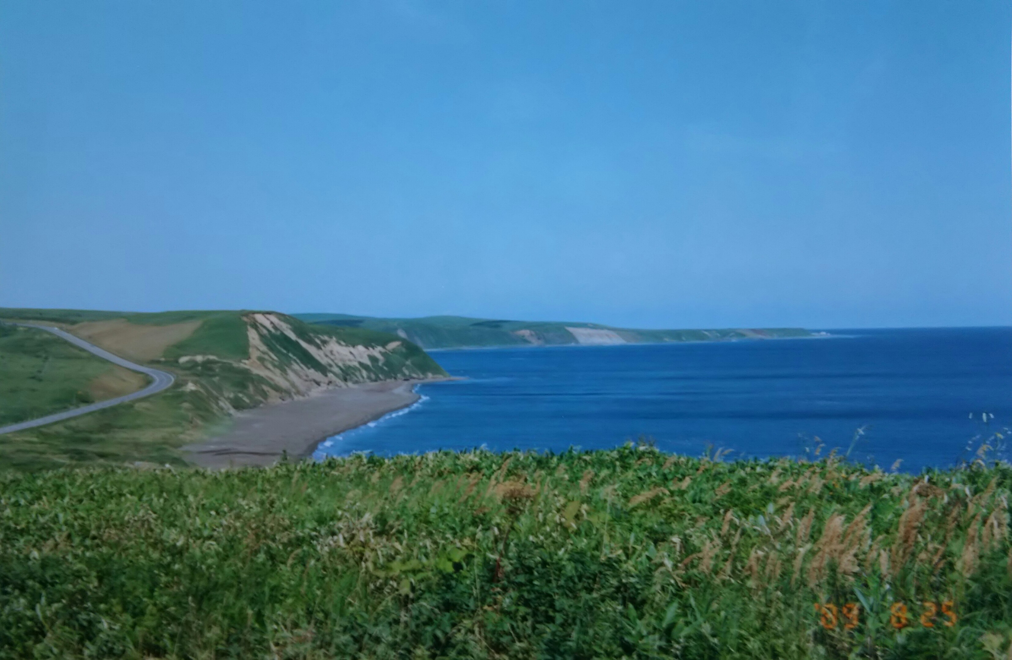
Emerging from the primeval forest, I arrived at Sounkyo, where the dam lake, Lake Daisetsu, and numerous waterfalls awaited me.
原生林を抜けるとダム湖の大雪湖、そしていくつもの滝が待ち構える層雲峡に到着。
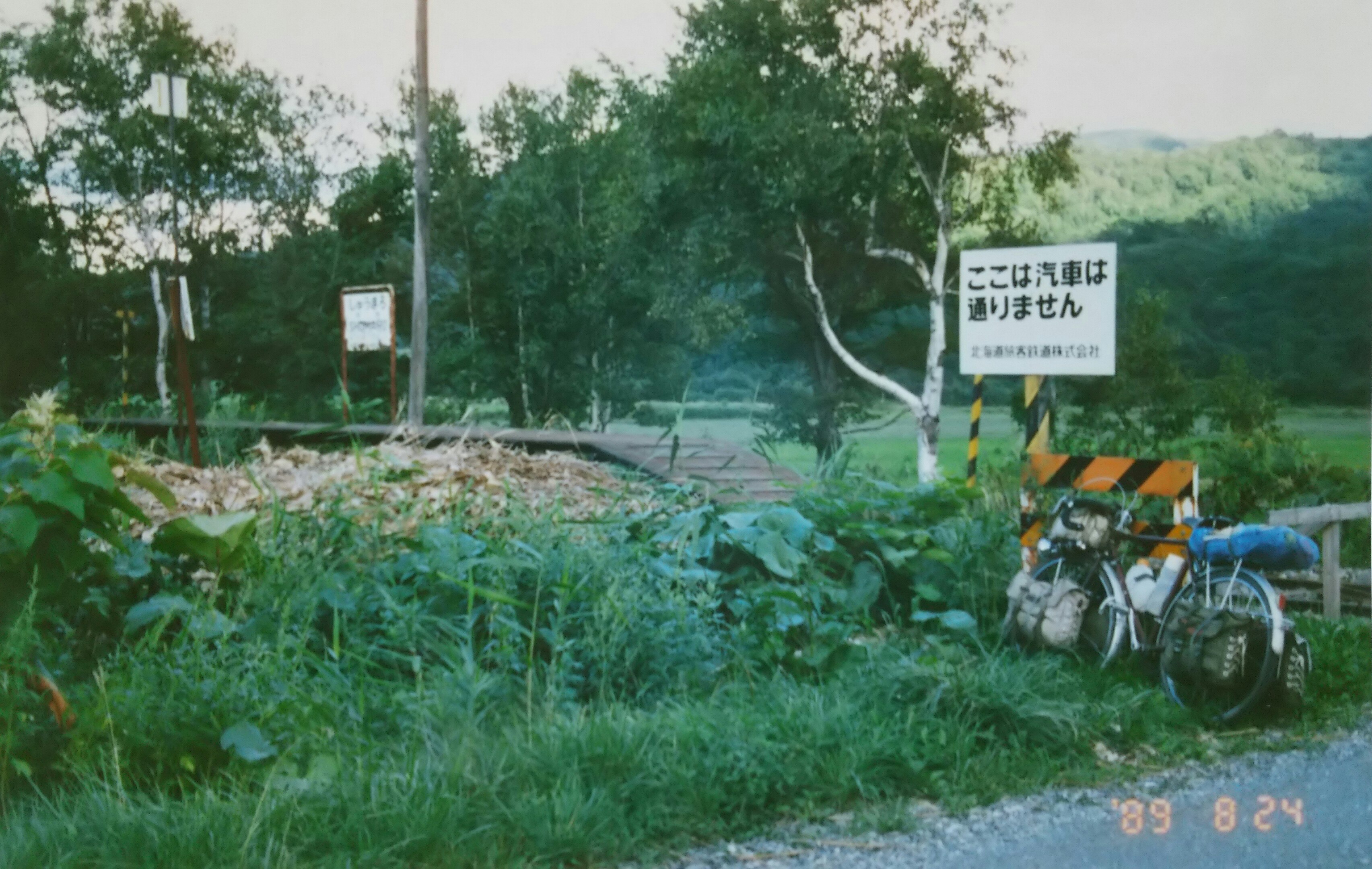
Descending from Sounkyo, I head north from Asahikawa along Route 40 following the Sōya Main Line. Instead of continuing straight to Cape Sōya, I decided to take Route 275 from Otoineppu, following the abandoned JR line for about 60 kilometers, aiming for the Sea of Okhotsk at Hamatonbetsu and then Sarufutsu. The reason was that at the time, Sarufutsu Village was frequently featured in the media as “Japan’s highest-income village” due to its freshwater clam fishing and dairy farming, and I wanted to see what it was like.
The photo shows the abandoned JR line between Otoineppu and Hamatonbetsu. Back then, JR lines were being abandoned one after another in Hokkaido.
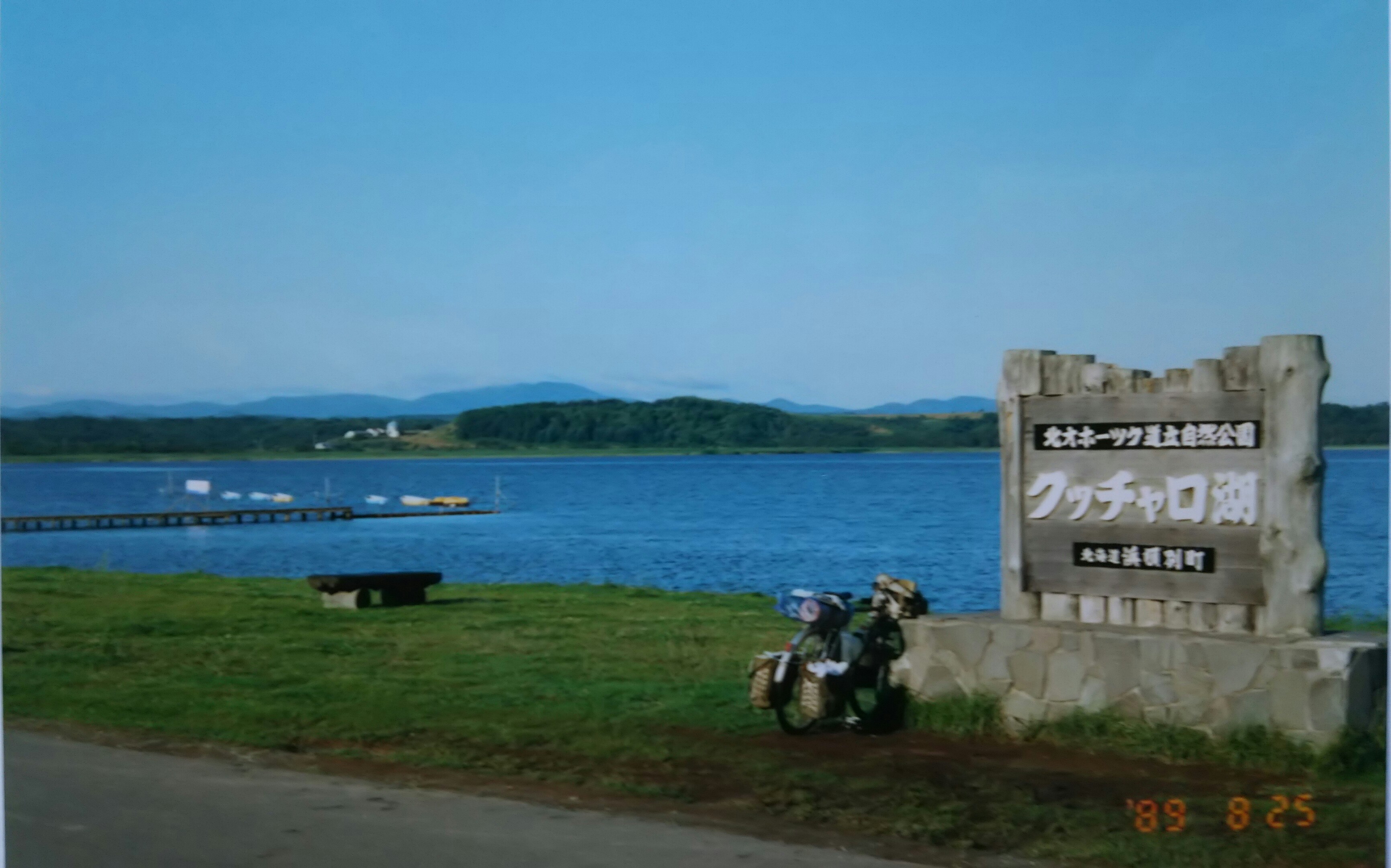
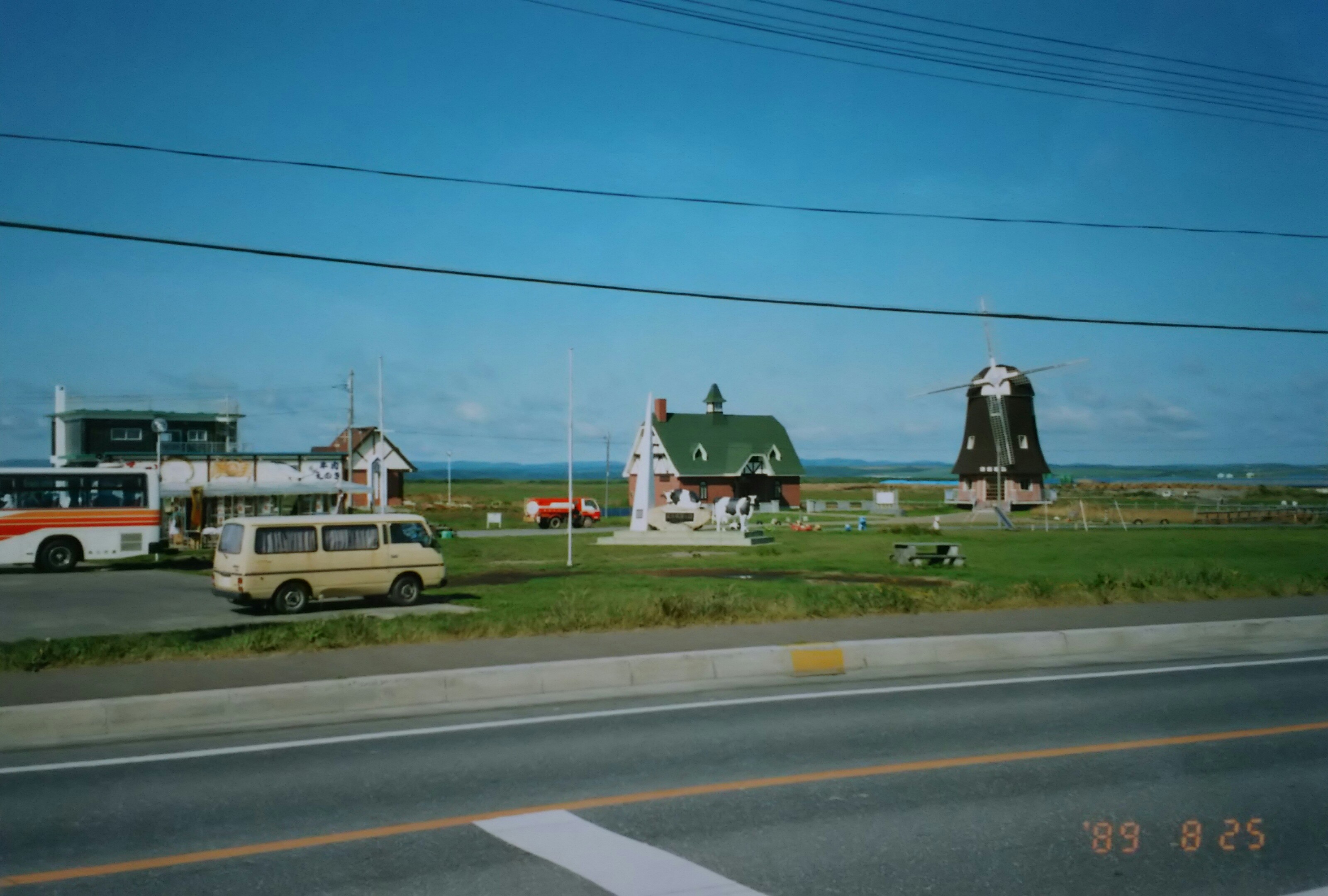
Next came Lake Kutcharo in Hamatonbetsu, then a drive-in in Sarufutsu—and for some reason, a windmill. Once past Sarufutsu, Cape Soya was just ahead.
層雲峡を下り、旭川から宗谷本線沿いの40号線を北上していきます。そのまま宗谷岬へ向かわずに音威子府(おといねっぷ)から JRの廃線沿いに275号線を約60キロ走り、オホーツク海は浜頓別(はまとんべつ)、そして猿払(さるふつ)を目指すことにしました。というのも当時、猿払村はシジミ漁と酪農で「日本一の高所得村」としてメディアで度々取り上げられ、どんな所か寄ってみたかったのです。
写真は廃線になった音威子府と浜頓別間の JR 線です。当時の北海道は次々と JR 線が廃線になっていました。
続いて浜頓別のクッチャロ湖、そして猿払のドライブイン、なぜか風車があります。猿払を過ぎれば宗谷岬はもうすぐです。
